Establishing photo-control in Dagestan. | 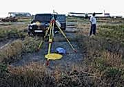
Fixing a permanent GPS Base Station in Makhachkala airport. |
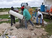
Supervising construction of a geodetic survey monument. | 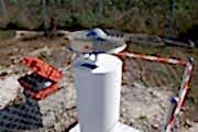
Preparing for a 168 hour GPS observation on a new monument. |
Locating and re-using old Primary Control. | 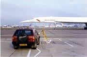
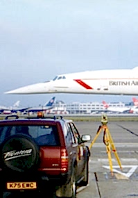
Surveying aircraft stands and taxiways at London Heathrow Airport. |
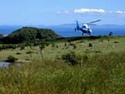
Getting around in Cameroon, visiting angle-point sites for a proposed 500km transmission line. | 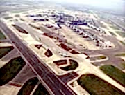
The crosswind runway 23/05 at London Heathrow Airport. |
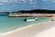
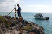
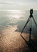
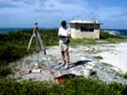
Establishing photo control on a Bahamian out island.
| 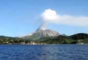
An offshore view of the active volcano in the Souffriere Hills, Montserrat. |
Abandoned property in the Exclusion Zone, Montserrat. | 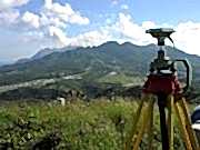
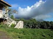
Topographic work near the site of the proposed new airport on Montserrat. |
Montserrat (continued). | 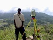
Montserrat: Working alongside and training local surveyors. |
Montserrat (continued). | 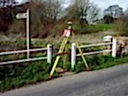
Verifying Environment Agency E1 grade Bench Marks to the new OSGM02 model. |
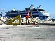
Dimensional control work in Freeport Harbour, Bahamas. | 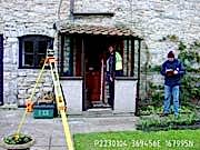
Threshold surveys in flood risk residential areas. |
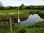
River channel surveys in flood risk areas.
| 
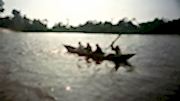
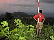
Getting around the Caribbean. |
Sea defence monitoring in Lincolnshire and Norfolk. | 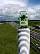
Robotic instruments allow radio controlled operation. |
Occupying a US Geodetic control station. | 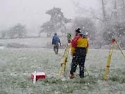
Floodplain surveyors making the most of the short British summer. |
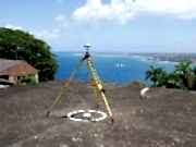
Aerial survey control in Tobago. | 
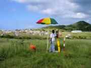
RTK survey work in a remote settlement. |
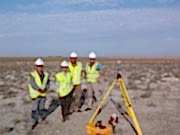
Working with Kazakhstani surveyors in the Tengiz oilfield | |